

Join Our Community
33,639 members are helping us to bring our collection to life.
Create a free Vintage Aerial account now to start commenting on photos, pinning locations, and earning points redeemable for our products!
Sign up now and receive a coupon for 10% off your first order!
Comments
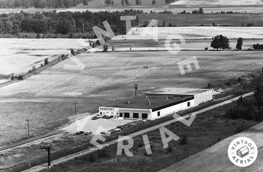
The pin on the map is centered on the buildings in the photo above. The site has been completely changed. The site configuration and buildings clearly shown in Historic Aerial imagery dated 1957 & 1972. In addition, 1979 satellite imagery is available at the right. 5345 County Road 68 in Spencerville.