

gone
We found 190 results for your search in 0.63 seconds:
79-LFR-21
1967
207
gone now😥!! Miss everything about this farm!!
11902 Gladhill Bros. Rd., Monrovia. House coordinates were
76-LFR-31
1967
80
gone farm is now part of the huge new town of Urbana.
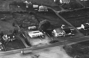
Peter Pan restaurant

74-LFR-12
1967
121
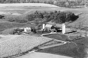
barns on the right in the photo are gone. B&O Railroad tracks at the bottom left.

74-LFR-9
1967
117
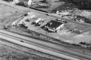
Company in most of the picture. All is gone now, and a bank is there.
13-LFR-14
1967
278
gone. Now at this location is the extended parking for Mountain Gate Restaurant and Woodsboro
21-LFR-35
1967
88
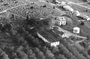
Cemeteries, along with Flanagan's Orchard, 25 Flanagan Rd., Thurmont. Water tower is gone now.
23-LFR-23
1967
105
gone) and 601 S Main St., Woodsboro.
JR's Sports Bar & Restaurant -605 Main St. Woodsboro
59-LFR-18
1967
91
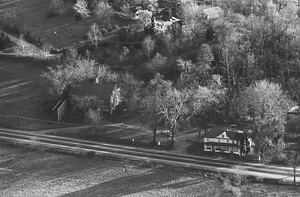
gone. Coordinates were (39.41703, -77.44380). The road in top left of photo is Rock Hill

24-LFR-19
1967
124
gone. Israel Creek runs behind, toward the Monocacy off to the right.
8711 liberty road

27-LFR-33
1967
86
gone.
Milking den to the right is still there and is used as an "antiques
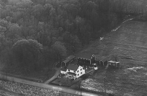
23-LFR-7
1967
84
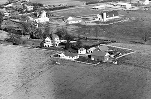
gone other than the barn and the summer kitchen to the left of the house

52-LFR-30
1967
43
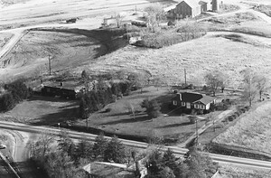
gone and there are houses across the street and behind the house. We build a few outbuildings

52-LFR-32
1967
143
gone. We still milk cows. I see them in the photo laying in the pasture
71-LFR-4
1967
130
Those two houses are still there.
Farm at top is gone due to 15/340 construction.
24-NFR-20
1971
102
this side of the road. House on the left side of the photo is gone.
82-MFR-22
1974
32
gone, and tall leylands block the view of much of the church parking (to the right

15-LFR-25
1967
89
gone and so are the cows and milking parlor 😞
New barns were built 🤗things rearranged
15-LFR-13
1979
28
offices of Dr. Tate, DDS
11834 Old National Pike
New Market MD.
Old barn is gone.

87-MFR-13
1974
53
gone and replaced with a gazebo and a pool. There’s a lot more trees
1-MFR-11
1974
74
around 1969. I see the barn is gone now and a new shed to the right of the photo.
16-MFR-4
1974
44
well as the fence is gone, the barn too. The barn was replaced by a modern barn
228-EEFR-18
1988
9
right is gone and the house/roof at the bottom of the picture is no longer there,

59-LFR-30
1967
78
Pike, Frederick. This farm is gone. House coordinates were (39.39602, -77.46825).
Rte 180 towards Jefferson
59-LFR-36
1967
68
Jefferson Pike, Frederick. These barns are gone, but have been replaced.
Rte 180 towards Jefferson