

Join Our Community
33,627 members are helping us to bring our collection to life.
Create a free Vintage Aerial account now to start commenting on photos, pinning locations, and earning points redeemable for our products!
Sign up now and receive a coupon for 10% off your first order!
Comments
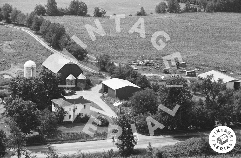
The pin on the map is the location of the farm site in the photo above. The buildings and the site configuration are all clearly visible in Historic Aerials' imagery (1955). None of the buildings in the photo above are existing today. The barn at the rear of the view is a Mail Pouch barn. There was a Mail Pouch sign on the west and east sides of the barn. The barn was razed and removed by 1999. The Mail Pouch barn is ID'd as MPB 22-13-09 on the Mail Pouch Barnstormer's website.
https://vintageaerial.com/photos/mich...