

Join Our Community
33,627 members are helping us to bring our collection to life.
Create a free Vintage Aerial account now to start commenting on photos, pinning locations, and earning points redeemable for our products!
Sign up now and receive a coupon for 10% off your first order!
Comments
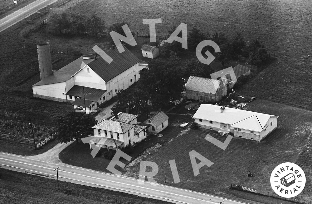
The red pin on the map is centered on the newer modular type house in the photo above. The older house has been razed and removed as has the barn. The foundation of the barn is still visible in the Google Earth view. The road to the front of the house is OH Rt. 158. The property is just north of the intersection with OH Rt. 204.