

Join Our Community
33,642 members are helping us to bring our collection to life.
Create a free Vintage Aerial account now to start commenting on photos, pinning locations, and earning points redeemable for our products!
Sign up now and receive a coupon for 10% off your first order!
Comments
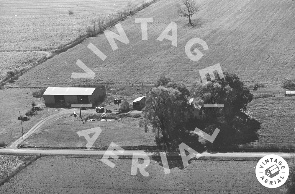
The red pin on the map is centered on the barn/garage at the left of the photo above. All the other buildings in the photo have been razed.