

Join Our Community
33,560 members are helping us to bring our collection to life.
Create a free Vintage Aerial account now to start commenting on photos, pinning locations, and earning points redeemable for our products!
Sign up now and receive a coupon for 10% off your first order!
Comments
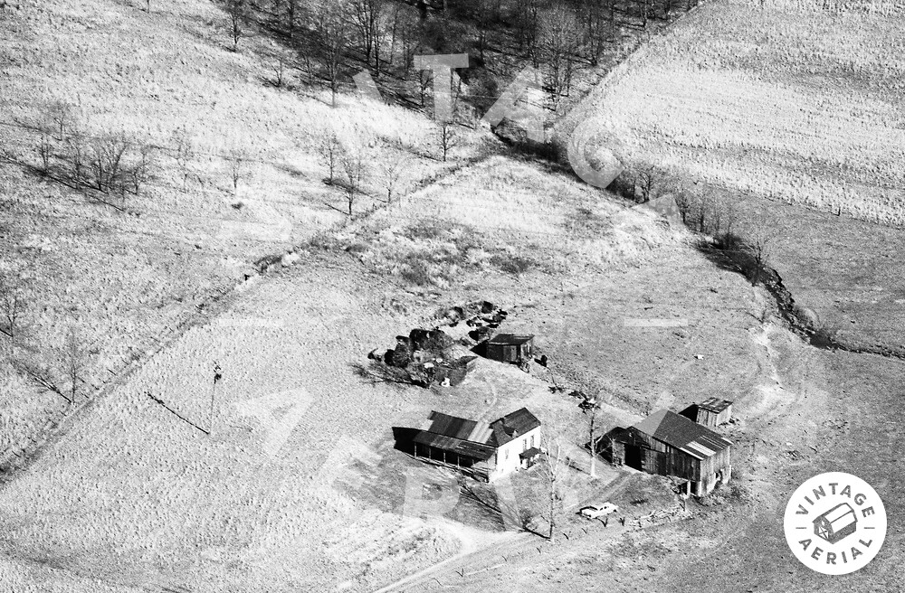
This was my family's farm. My great grandparents came from Poland/Czechoslovakia. The last uncle (of my dad's) died in the 1970s. Cows were kept on the farm until the late 80s when my uncle stopped farming. In the 90s, eminent domain claimed the house for Route 43.
Hello Dre,
I am sorry to hear about the house falling to eminent domain. This makes it very hard to pinpoint its location. Can you provide any more detail on exactly where it used to be?
Hi, Nathan.
This was at the very end of Goodwin Road. The train tracks could be seen from the driveway, which paralleled. In the photo, the flight path seems to cross Goodwin Rd parallel with the tracks. On Google maps, it is grown-in with trees. The powerline tower was in the far edge of the cow fields. The pond is where the field used to flood.